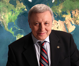
Valery Bondur – Academician of the Russian Academy of Sciences, Professor, Doctor of Technical Sciences, an outstanding scientist in the field of aerospace research of the Earth. He made a decisive contribution to the formation of new scientific directions in the field of aerospace research of the Earth and the solution of many problems of remote sensing, including: remote diagnostics of deep processes in the seas and oceans by their manifestations on the surface and in the near-surface layer; space monitoring of global, mesoscale and local atmospheric processes; remote monitoring of seismically and volcano-hazardous areas; aerospace monitoring of anthropogenic impacts on various ecosystems; development of methods for processing large flows of aerospace information; creation of models of electromagnetic radiation fields at the input of aerospace equipment; modeling of various processes occurring in the seas and oceans, atmosphere, geological environment, near-Earth space, etc.
The area of scientific interests is related to the development of physical foundations and system-wide principles for the creation and application of global aerospace systems, with the development of new methods and technologies for remote sensing and processing of large streams of aerospace data in the interests of Earth sciences, environmental monitoring, prevention of hazardous natural and man-made processes, and also for solving special and other
Session
-
Natural and anthropogenic Disasters
Geodynamic instability is the cause of many natural disasters, such as earthquakes, volcanic eruptions, landslides, mudflows, etc. Natural factors can initiate man-made accidents (collapses of buildings and structures, mine explosions, damage to the integrity of dams, etc.) and, conversely, man-made processes have a negative impact on the natural environment, leading to environmental accidents. The specifics of our country (huge territory, high level of deterioration of production assets and infrastructure, etc.) determine the need to develop special methods and technologies for monitoring natural and man-made disasters, as well as measures to reduce the exposure of the population and economy to risks from them. The solution to this problem is inextricably linked with the systematic analysis of large volumes of spatial geological and geophysical data, which are characterized by noise, diversity and incompleteness for making informed decisions. The purpose of the scientific session is to discuss modern tools, methodology, as well as research results in the field of Earth sciences that contribute to the effective solution of problems of monitoring and reducing the risks of natural and man-made disasters.

