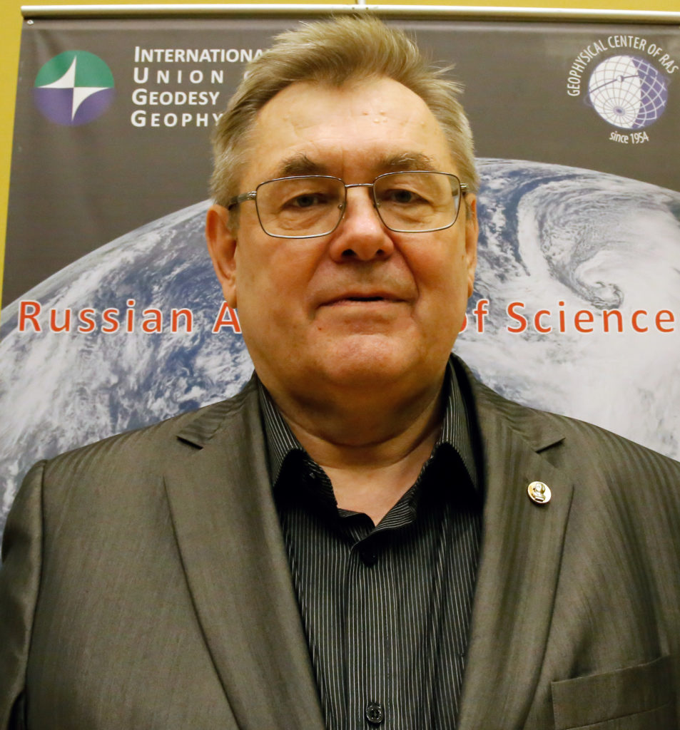
Viktor Tatarinov, Corresponding Member of the Russian Academy of Sciences, Doctor of Technical Sciences, specializing in geoecology. He heads the geodynamics laboratory at the Geophysical Center of the Russian Academy of Sciences. During his work, he theoretically and experimentally substantiated a new direction in the field of mining sciences and geoecology, focused on assessing the stability of the geological environment in areas where nuclear fuel cycle facilities are located; a methodology has been created for assessing the stability of the geological environment based on methods of system analysis of spatial data of the scientific school of Academician A. D. Gvishiani; a method of kinematic geodynamic zoning has been developed based on studying the rates of deformation of the earth’s crust using GNSS and mechanical and mathematical energy analysis of stress fields; geodynamic testing sites have been created in the areas of a number of radiation-hazardous objects, including in the area of construction of Russia’s first deep disposal site for radioactive waste of hazard class 1 and 2 (Nizhne-Kansky massif). About 172 scientific papers have been published in leading Russian and international journals, including 2 monographs and 4 textbooks, as well as a number of normative documents.
Research interests: assessment and forecast of geodynamic stability of the geological environment when choosing locations for nuclear fuel cycle facilities and study of modern geodynamic movements of the earth’s crust based on global navigation satellite systems GPS/GLONASS.
Session
-
Natural and anthropogenic Disasters
Geodynamic instability is the cause of many natural disasters, such as earthquakes, volcanic eruptions, landslides, mudflows, etc. Natural factors can initiate man-made accidents (collapses of buildings and structures, mine explosions, damage to the integrity of dams, etc.) and, conversely, man-made processes have a negative impact on the natural environment, leading to environmental accidents. The specifics of our country (huge territory, high level of deterioration of production assets and infrastructure, etc.) determine the need to develop special methods and technologies for monitoring natural and man-made disasters, as well as measures to reduce the exposure of the population and economy to risks from them. The solution to this problem is inextricably linked with the systematic analysis of large volumes of spatial geological and geophysical data, which are characterized by noise, diversity and incompleteness for making informed decisions. The purpose of the scientific session is to discuss modern tools, methodology, as well as research results in the field of Earth sciences that contribute to the effective solution of problems of monitoring and reducing the risks of natural and man-made disasters.

